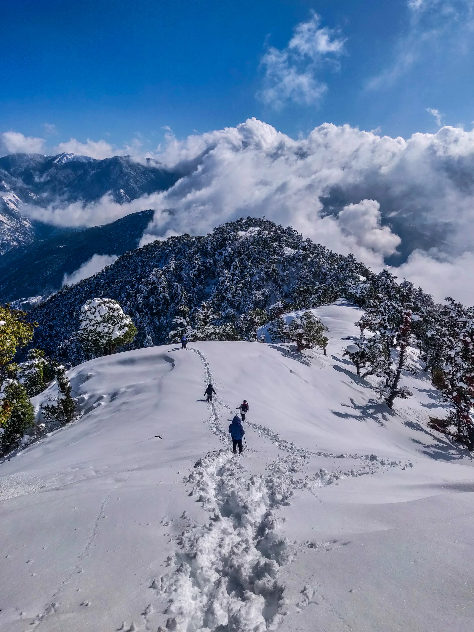
Everest Base Camp
Walk the classic Khumbu corridor through Sherpa villages, Buddhist monasteries, and glacial moraines to the foot of the world's highest peak.
The route, mapped
The route
The Everest Base Camp trek is a high-altitude journey through the Sagarmatha National Park. From the airstrip at Lukla you climb steadily along the Dudh Koshi, passing the trading hub of Namche Bazaar and the monastery at Tengboche before crossing onto the Khumbu Glacier. Acclimatization days are non-negotiable — the route gains over 3,000 m of elevation in twelve days.
- Starts
- Lukla (2,860 m)
- Ends
- Lukla (2,860 m)
Day by day
- Day 1Lukla → PhakdingFirst steps along the Dudh Koshi9 km · 3h2,610 m
- Day 2Phakding → Namche BazaarFirst view of Everest from the climb11 km · 6h3,440 m
- Day 3Namche → NamcheAcclimatization hike to Hotel Everest View6 km · 4h3,880 m
- Day 4Namche → TengbocheHilltop monastery at sunset10 km · 5h3,860 m
- Day 5Tengboche → DingbocheCross the treeline into alpine terrain12 km · 5h4,410 m
- Day 6Dingboche → DingbocheAcclimatization climb up Nangkartshang5 km · 4h4,900 m
- Day 7Dingboche → LobucheMemorial pass for fallen climbers12 km · 6h4,940 m
- Day 8Lobuche → Gorak Shep / EBCReach Everest Base Camp15 km · 8h5,364 m
- Day 9Gorak Shep → Pheriche via Kala PattharSunrise from Kala Patthar16 km · 8h5,545 m
- Day 10Pheriche → NamcheLong descent through forest20 km · 7h3,440 m
- Day 11Namche → LuklaFinal teahouse evening19 km · 7h2,860 m
- Day 12Lukla → KathmanduMountain flight back to the city0 km · 0h1,400 m
More in Khumbu
 ★ 4.9
★ 4.9 Three Passes Trek
The complete Khumbu circuit — Kongma La, Cho La and Renjo La — joining Everest Base Camp, Gokyo and the high views in between.
 ★ 4.8
★ 4.8 Gokyo Lakes Trek
The quieter side of the Khumbu — turquoise glacial lakes, the Ngozumpa glacier (Nepal's longest), and Everest from Gokyo Ri at 5,357 m.